
Walk a Forsyth County Street
Start with a physical address, then preserve the identifiers that let the records agree or disagree. Forsyth County Tax Administration treats the location address, owner or business name, REID, and PIN as different search keys. The parcel map adds the surrounding lots and the property card adds the current tax-owner snapshot. That is a strong starting point, but not proof that the owner occupies the location. A deed supplies the title transaction behind that snapshot. A voter search, when a name is already known, can supply a separate registration clue. For older households, the street guide at the North Carolina Room is the address-ordered layer.
- Enter the number and street in Detailed Property Information, then save the location address, owner name, PIN, REID, and legal description shown on the card.
- Open the same location in the Tax Parcel Viewer. Click the selected parcel and the adjoining parcels rather than assuming a map label proves a boundary.
- Use the owner as a grantee in ForsythDeeds, then read the purchase deed, recording date, legal description, prior grantor, and available image.
- When a name needs a current registration check, use the North Carolina Voter Search with first name, last name, county, and status. It is name-led, not a public street-browse tool.
- For a past address association, ask the local history desk for the year-specific street guide or reverse-directory material and compare its house numbers and crossings.
The order matters. An address can change format, a tax display can trail a recorded deed, and a street guide is tied to its publication year. Keep the source, date, and identifier with each result. The process produces a documented address trail instead of a list of unconnected names.
Forsyth County Street Directory Fields
Forsyth’s two property tools answer different parts of an address question. Detailed Property Information has four named search entries: Owner or Business Name, Location Address, REID, and PIN. The Tax Parcel Viewer is broader. It can find an owner by last and first name, a parcel number, REID, official address, or block and lot. Its results highlight selected properties, zoom the map, and expose a popup with links to related county information. Use the property card as a tax record, not an occupancy statement.
| Portal | Street-search field | Format or result |
|---|---|---|
| Detailed Property Information | Location Address | Property card with owner, location, REID or PIN-linked information, and related tax or deed links when available. |
| Tax Parcel Viewer | Official Address | Map selection, feature popup, zoom, scrollable results, printable map or report, and adjoining parcel inspection. |
| Tax Parcel Viewer | Parcel Number | Use the documented ####-##-####.## pattern; a partial number can select a larger set. |
| Tax Parcel Viewer | REID or Block and Lot | Alternative keys for a parcel when an address is old, incomplete, or difficult to normalize. |
The Forsyth County Tax Administration hub brings the property tools, tax bills, parcel mapping, map archives, and related links together.
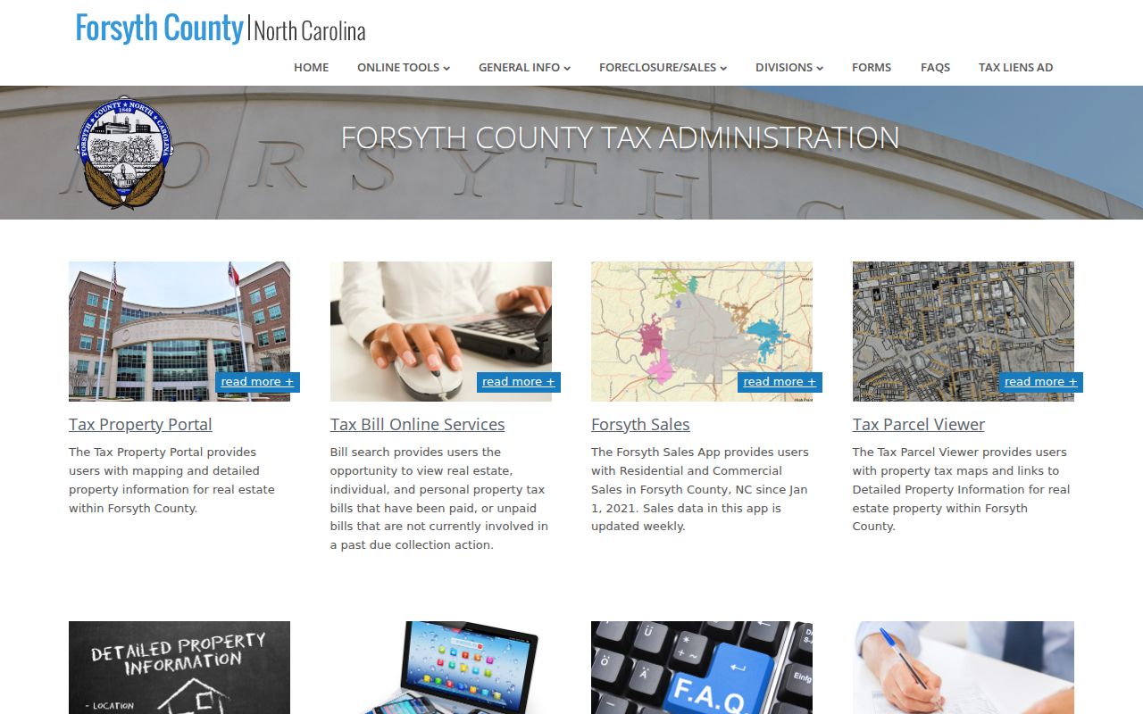
Use the hub to move from an address result to the record type that answers the next question, rather than treating one tax display as the full street record.
Forsyth Address Wildcard Search
Address spelling is a practical hurdle in the parcel viewer. The help material says Official Address accepts the percent sign as a wildcard. For example, 1022 % main st can return an address when a fully typed street type does not. The same help directs users to omit the street type or try the listed abbreviation, such as AVE, BLVD, CIR, CT, DR, LN, RD, or ST. This is especially useful when a deed, old guide, or handwritten note uses a different street form.
Normalize directionals, suffixes, unit information, and the city label before deciding that a record is missing. Forsyth’s Master Address Repository is the county’s definitive address-point and centerline service. It is a better check for an official current address form than a casual web spelling. Note: A map point supports location matching, while the recorded deed and plat control the legal description.
Forsyth County Street Record Trail
Address-keyed records each have a distinct purpose. The property card is the current tax snapshot. The map shows parcel geometry and related layers. The Register of Deeds holds the instruments that move title. City code cases can place an owner and parcel in a dated enforcement record. The election system may show a registered voter after a name-led search, while historic street guides connect a number with a published householder or business for a particular year.
| Address record | What it contributes | How Forsyth provides it |
|---|---|---|
| Detailed property record | Owner, mailing and location addresses, value, parcel IDs, characteristics, and exemptions. | Free owner, address, REID, or PIN search with a printable property card. |
| Tax Parcel Viewer | Parcel shape, adjacent parcels, map layers, and links to related records. | Free public viewer. It is not a legal survey. |
| Recorded deed or plat | Grantor, grantee, legal description, recording placement, and title transfer. | Free index and real-estate images through the Register, with paid copies when needed. |
| City code case | Address, owner at the case time, tax property ID, ward, violation count, and case number. | City search by address, case number, type, date, or a broader street query. |
| Historic street guide | Numbered residences or businesses and crossing streets for a published year. | North Carolina Room and selected DigitalNC material, with year-by-year availability. |
A parcel number is a tax and mapping identifier, while a situs address is the physical location used by Tax Administration and mapping. A plat is the recorded drawing that can establish lots, streets, and easements. A criss-cross directory, also called a street guide, organizes published household or business entries by address rather than alphabetically.
- Parcel
- A mapped tax unit connected to a PIN or REID. It can contain a lot, structure, or other assessed property interest.
- Situs address
- The physical location used for the parcel. It is different from the owner’s mailing address for tax correspondence.
- Plat
- A recorded map used for lots, blocks, streets, and easements. Check it with the deed for legal dimensions.
- Criss-cross directory
- An address-ordered directory, often with house numbers and crossing streets, useful for a dated street-level check.
Forsyth Street Deed Chain
Title research starts with the current tax owner, but it should not stop there. Save the PIN or REID and legal description before following the purchase deed. In the Register index, search the buyer as grantee, open the deed image when available, and identify the prior grantor. Then search that prior owner as grantee to locate the earlier acquisition. Names can appear as initials, spouses, trusts, estates, or companies, so the legal description and lot or block are the steady comparison points.
ForsythDeeds reports instruments reaching back to 1849, formal recording from 1913, and computerized indexes from 1965. The county has not published a precise online cutoff for every deed image or index result. When the online trail stops, call or visit the Register of Deeds for direction to deed books, microfilm, or office copies. Real-estate images are available online, while vital-record images are not.
For a historical household at a known number, the deed identifies title movement, not every person present there. The historical volumes themselves are better handled through the Forsyth County city directory collections, where an address entry can be matched to its publication year.
Note: The county has not published an exact online cutoff, so ask the Register which deed-book or microfilm format continues the trail.
Forsyth Map Archive Years
Forsyth’s Assessment Map Archives provide a useful middle layer between older deeds and a current parcel card. Large map books were constructed in 1952 and updated through 1988. The owner ledger runs from 1988 to January 1, 2004. Annual assessment map images are listed from 2008 through 2024, except 2010. The archive uses a block or PIN-based route, so save the numeric parcel information before leaving the current map.
The Forsyth Assessment Map Archives explains how a PIN guides the map selection and owner-ledger lookup.
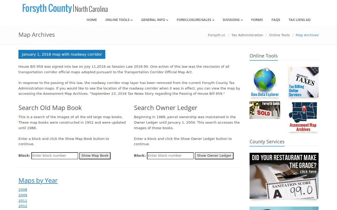
The archive can show how a block was represented for tax purposes at a given time, but its dimensions are not a substitute for a recorded plat or a legal survey.
Forsyth Street Name History
Old address work needs more than a modern city label. Winston and Salem merged in May 1913, so a historic deed or directory may be indexed under either earlier name. Forsyth’s Historic Centerlines material searches by road name, address, parcel, or ZIP and preserves scanned records about road naming. County reporting says most documented renames fall between 1979 and 2000, with later material as well. The Carl Russell Avenue example includes records of a 1988 city renaming.
The county’s Historic Centerlines information is a practical source when a number and surname do not fit a current street label. Compare old number sequences and crossing streets before discarding a hit. Annexation can also change a jurisdiction, ward, or service office without changing the parcel itself.
Note: Record Winston, Salem, Winston-Salem, street form, and date as separate search details when reconciling older address material.
Forsyth Address Code Cases
Winston-Salem code enforcement is a dated address source, not a household roll. The public case search accepts an address, case number, case type, or date. Leaving the number blank allows a broader street query, and a general search can target a violation type. Results can show the property address, owner at the case time, Tax Office property ID, violation count, case number, and ward. That makes a case useful for tying a parcel to an event at a known time.
The city code-case search is limited to published public case information and city scope. Permit and inspection records may supply building work clues, but the accessible sources do not establish a complete historic permit field set or cutoff. Call Planning and Inspections before expecting a complete address history.
The Tax Administration FAQ also cautions that tax-map dimensions are calculated for tax purposes and can differ from deeded or platted legal dimensions.
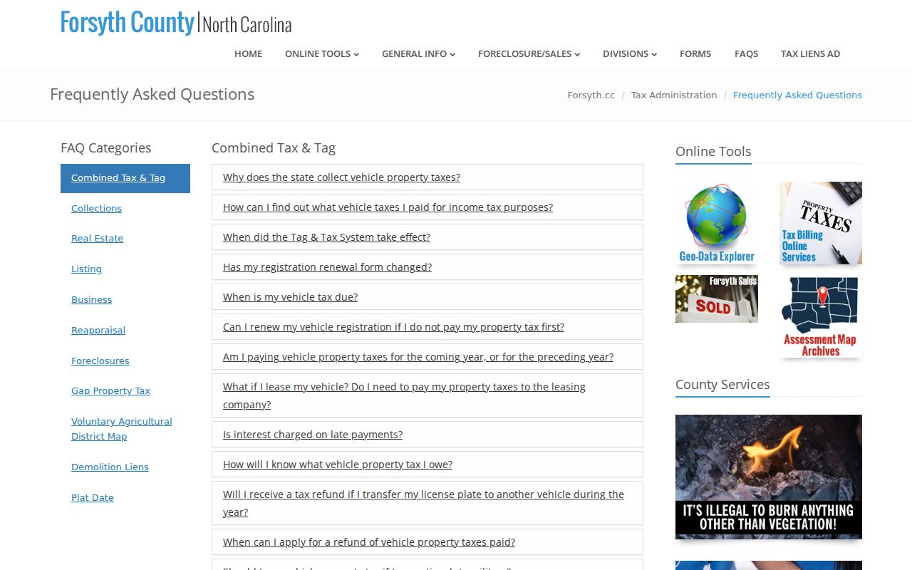
Where a map, code case, and deed seem to conflict, compare the record dates and use the recorded deed or plat for the legal property question.
Forsyth County Street Directory Limits
Public address records are selective by design. A tax owner is not automatically the person at the situs address. The individual voter search does not offer an all-address street roster, and protected voters may have physical addresses withheld. DMV address data, utility customer information, delivery data, and private association membership are not public substitutes. The parcel viewer also does not certify a title, boundary, or survey.
Lawful use. Use Forsyth County address records for personal, lawful research and verify material facts with the custodian. North Carolina law protects confidential information, and using records to stalk, harass, or intimidate another person is unlawful.
North Carolina’s Address Confidentiality Program allows eligible participants to use a substitute address in public communications. A blank address result can reflect a protection, a name variation, a changed status, or a source limit. Treat it as an unresolved record question, not a basis for publishing more information.