
Forsyth County ZIP Code Coverage
Forsyth County Planning publishes a ZIP polygon layer that is helpful for visualizing local service geography. It displays 30 ZIP values and includes ZIP, ZIP text, mailing-city, mailing-code, and acreage fields. The layer is updated when changes or corrections are needed. It is not a full USPS master list, so its polygons should be read as county GIS coverage rather than a final statement about every postal city, ZIP+4, post-office box ZIP, or institutional ZIP that may touch the county.
| ZIP | Areas Covered | Post Office | Notes |
|---|---|---|---|
| 27006 | Bethania and adjacent northern county territory | Verify with USPS | County polygon value |
| 27009 | Belews Creek | Verify with USPS | Standard county GIS polygon |
| 27012 | Clemmons | Verify with USPS | City limit and ZIP can differ |
| 27018 | Rural Hall and nearby northwest area | Verify with USPS | Check by address |
| 27019 | Tobaccoville and nearby northwest area | Verify with USPS | Check by address |
| 27021 | King and adjacent northern area | Verify with USPS | May cross county line |
| 27023 | Lewisville and nearby west county | Verify with USPS | Election material uses Lewisville |
| 27028 | Mocksville and nearby southern edge | Verify with USPS | May extend into adjacent counties |
| 27040 | Kernersville and nearby southeast | Verify with USPS | Also in city survey material |
| 27043 | Walnut Cove and northeastern edge | Verify with USPS | Check Forsyth versus nearby-county routing |
| 27045 | Rural Hall and nearby area | Verify with USPS | Postal city needs confirmation |
| 27050 | Tobaccoville | Verify with USPS | Election material uses Tobaccoville |
| 27051 | Walkertown and nearby east area | Verify with USPS | Municipal mismatch is possible |
| 27052 | Winston-Salem and nearby northern area | Verify with USPS | Use an exact address |
| 27055 | Nearby northeastern or southern edge | Verify with USPS | County polygon only |
| 27101 | Downtown and east Winston-Salem | Verify with USPS | Government Center and county-seat core |
| 27103 | Southwest and south Winston-Salem | Verify with USPS | City survey and police-district addresses |
| 27104 | West and northwest Winston-Salem | Verify with USPS | Common city residential ZIP |
| 27105 | North and east Winston-Salem | Verify with USPS | Healthy Forsyth target ZIP |
| 27106 | Northwest Winston-Salem | Verify with USPS | City survey and police-district addresses |
| 27107 | Southeast Winston-Salem | Verify with USPS | Waughtown and southeast context |
| 27109 | Wake Forest University and adjacent institutional area | Verify with USPS | Institutional-style geography |
| 27110 | Winston-Salem institutional or postal area | Verify with USPS | County polygon value |
| 27127 | Southwest and southern Winston-Salem | Verify with USPS | City survey and community material |
| 27157 | Winston-Salem institutional or unique postal area | Verify with USPS | Do not assume a general neighborhood |
| 27235 | West county and Greensboro-edge postal area | Verify with USPS | County polygon value |
| 27265 | High Point edge territory | Verify with USPS | May extend beyond Forsyth |
| 27284 | Kernersville | Verify with USPS | ZIP and city limits can differ |
| 27310 | Southern or eastern High Point-area territory | Verify with USPS | Shown on local health map |
| 27357 | Southern county and nearby territory | Verify with USPS | Shown on local health map |
The cited county layer does not establish a complete post-office table. That is why the Post Office column calls for an address-specific USPS check rather than guessing a station name. The same research notes a nearby 27010 Bethania value in health-map material that is not one of the 30 visible polygon values.
Forsyth County ZIP Polygon Values
The number 30 is a useful local quirk, not a guarantee that there are only 30 ways an address can be served. The county Planning service exposes those 30 map values, while USPS can maintain additional ZIP+4, post-office box, or unique-institution data that is not represented as a county polygon. A polygon tells a map user where the local layer places an area; it does not settle the postal city for a particular mailbox or prove a person or organization is at an address.
Forsyth County’s ZIP polygon service is the source for the layer fields and values. Its image shows the official county resource used to map the local ZIP geography.
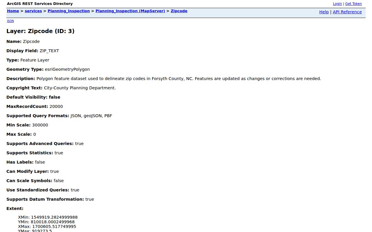
Use the layer to select a local area, then verify the postal label with USPS before recording a mailing city.
For city-oriented context, 27101 is downtown and east Winston-Salem, 27104 is west and northwest Winston-Salem, 27106 is northwest Winston-Salem, and 27107 is the southeast and Waughtown context. Outer values include Clemmons 27012, Lewisville 27023, Kernersville 27284, Rural Hall, Walkertown, Tobaccoville, and edge territory associated with High Point or King. Those descriptions are map context, not municipal-boundary decisions.
Finding Residents by Forsyth County ZIP
A ZIP search should narrow a geographic question to an address, parcel, or street before any resident-related record is compared. The Tax Parcel Viewer and Planning or MapForsyth GIS have ZIP layers, and the Historic Centerlines application can search by ZIP. The individual voter form has a county selector but no ZIP field in the inspected version. Detailed Property Information does not show a ZIP field on its landing page, so it is better used after the map or USPS result identifies an address, PIN, or owner.
- Use the USPS address lookup to confirm the ZIP and standardize the mailing form for a specific street address.
- Use the county ZIP polygon layer or a map layer to understand the local area and whether a municipal edge may be involved.
- Search the Tax Parcel Viewer by official address, parcel number, REID, owner name, block, lot, or its spatial tools. A ZIP alone is not one of its documented search modes.
- Open the property card for parcel details, then compare the physical situs with the tax mailing address and recorded deed if ownership is the question.
- Use a person-led voter search only after the address and name are narrowed, and treat protected or absent results as a limit rather than a gap to force.
Once a ZIP has been narrowed to a street and numbered address, the Forsyth County street directory has the fuller address-by-address workflow.
Forsyth County ZIP Lookup Fields
USPS provides three relevant modes: an address search, a city-and-state search, and a cities-by-ZIP search. The address mode is the practical choice when a complete location is known. USPS warns that its result may standardize the address and does not confirm that a person or company is at the location. That warning matters when an old directory, a tax card, and a mailing label use slightly different forms.
| USPS field or mode | Type | Required | Use in Forsyth County |
|---|---|---|---|
| Company | Text | No | Optional addressee line; it does not establish a person’s presence. |
| Street Address | Text | Yes | Use the physical delivery address and include directional or street-type details when known. |
| Apt/Suite/Other | Text | No | Add the unit where it is part of the delivery address. |
| City and State | Text and dropdown | Yes | Useful for testing Winston-Salem, town, or edge-area labels. |
| Postal ZIP | Text | No | Use to confirm a candidate postal geography or retrieve cities by ZIP. |
USPS ZIP Lookup supplies the three modes and its address-standardization notice. The workflow works well with Forsyth’s address data because it checks mail geography separately from a tax or map label.
Forsyth County ZIP Code Boundaries
Postal ZIPs are delivery geography, not city limits or county lines. A parcel can use a Winston-Salem mailing city, have a Forsyth tax situs, carry a ZIP associated with another postal city, and still sit outside the incorporated city. The Tax Assessor and Collector administers county territory, municipalities, portions of High Point and King, and fire districts. Clemmons, Lewisville, Kernersville, Rural Hall, Walkertown, Bethania, and Tobaccoville all illustrate why a postal label should be stored separately from municipal jurisdiction.
Boundary check. Compare the parcel’s situs, the county GIS or MAR result, the city or town limit layer, and the USPS response before relying on a Forsyth County ZIP code for jurisdiction.
- ZIP versus ZIP+4
- A ZIP identifies a broad postal delivery area; ZIP+4 adds a smaller delivery segment and is not a city-boundary field.
- Post-office box ZIP
- A ZIP assigned for post-office-box service that may not describe a physical street-delivery area.
- Unique ZIP
- A postal identifier associated with a particular institution or large recipient, not necessarily a neighborhood.
- Carrier route
- A delivery sequence used by a postal carrier; it can help describe delivery handling but does not establish a municipal boundary.
Forsyth County Address Identity Fields
Keep four fields separate when researching a Forsyth County ZIP code. The situs or location address is the physical parcel or building address used by Tax, GIS, permits, code cases, and emergency addressing. The owner mailing address is where tax correspondence goes and can be a different city, state, or post-office box. A legal description is the lot, block, or metes-and-bounds language in a deed, while the postal ZIP describes delivery geography. Treating them as interchangeable creates false matches.
Forsyth’s Master Address Repository is described as the definitive county source for address points and centerlines. It helps normalize directionals, street-type abbreviations, units, and historic Winston, Salem, or Winston-Salem labels before a map or tax search.
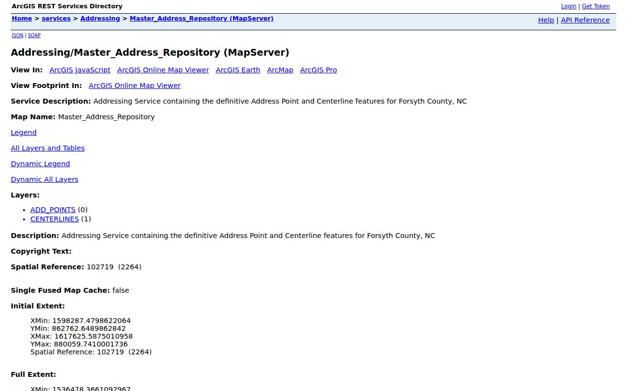
The official address-point service supplies a stronger physical-location check than a postal city label on its own.
Note: GIS boundaries are map representations, not certified legal surveys; recorded deeds, plats, and a licensed surveyor remain the route for legal dimensions.
Forsyth County Postal Search Limits
Voter information is person-led rather than ZIP-led. Forsyth’s individual search has first name, middle initial, last name, year of birth, county, and voter-status controls, but the inspected form did not have a ZIP filter. County voter-data files and an interactive map exist through the Board of Elections, although current file formats, fees, and conditions should be confirmed with the Board. A ZIP map therefore helps frame an area, while a person search needs a name and county.
Forsyth County Board of Elections is the local contact point for voter resources and data questions. Its official page reinforces that the voter route is organized around the person and county, not a ZIP-wide resident list.
The Board can clarify the available file, map, or request channel without turning a postal area into a roster of people.
Forsyth County voter-data resources show the county’s map and data route. The source is useful for understanding why a ZIP should not be treated as a public roster of every household.
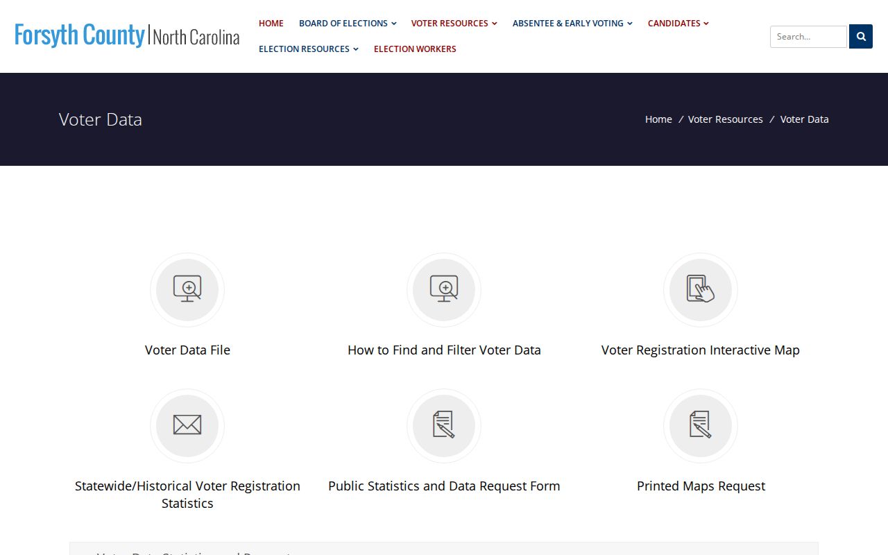
Protected voter addresses and people who are not registered or currently listed will not be resolved by changing a ZIP query.
The local tax system also serves multiple municipal and edge geographies, which is why property results should be read as tax records rather than a simple postal directory. Forsyth’s 2025 reappraisal information describes that county and municipal administration context.
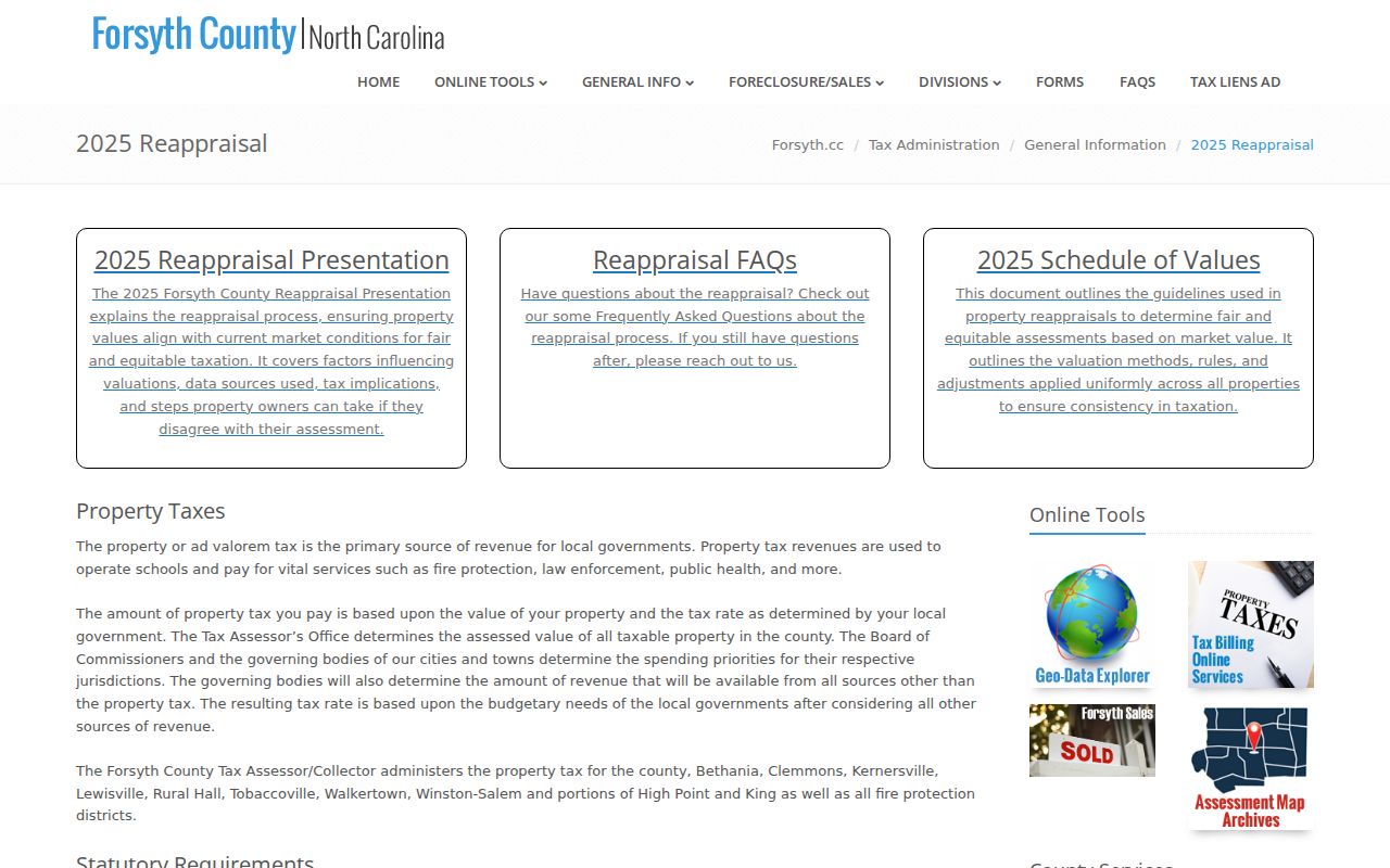
Use the tax card, map layer, and postal result together when a ZIP crosses a town or city edge.
Forsyth County Postal Directory Limits
A ZIP-based geographic directory is a starting point, not proof of identity, residence, ownership, or jurisdiction. USPS expressly warns that a ZIP result does not confirm a person or company at an address. The parcel viewer can show a recorded owner and tax mailing detail, but the owner is not necessarily the occupant. A voter search can show public registration information, but it is not a complete list of everyone on a street or inside a postal area.
For a careful local check, preserve the ZIP, postal city, situs, municipality, parcel ID, and record date as separate details. Use the Forsyth County ZIP code directory to choose the right map area, then let the record custodian answer the narrower question. Respect protected addresses and do not use geographic records to stalk, harass, intimidate, or harm anyone.
Note: A ZIP is most reliable when it is confirmed against the exact address and then paired with the record type that actually answers the question.